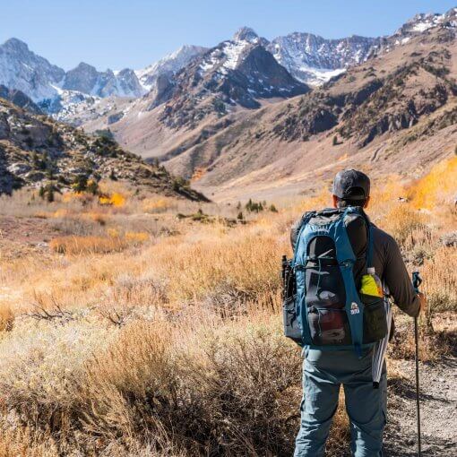
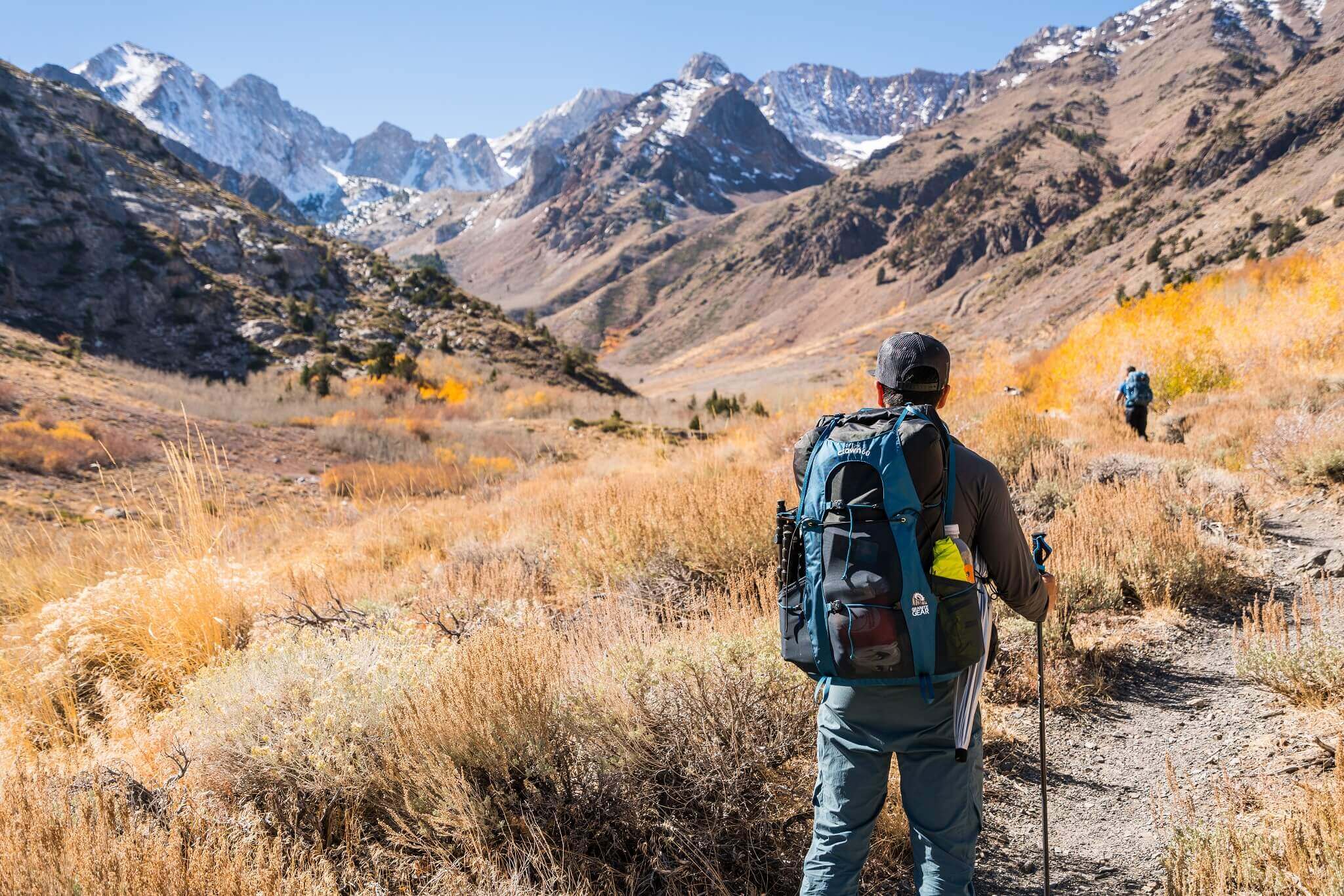
We all need a little detox from our busy urban lifestyle once in a while and, what better way to do it than a good long hike, away from the noise and pressures of city life. If you are looking for a nice challenging hike near Los Angeles, plan a hiking trip to Mount Wilson in Southern California, one of the ‘Six Pack of Peaks’, via Chantry Flats.
You will really enjoy walking over plush green grass and striding along a soft sparkling creek. And, even though the trail is rather rigorous, it is beautiful, and is definitely doable for beginner hikers as well, who want to spend more time outdoors.
Important Facts to Know Before You Go
Mount Wilson, a famous landmark in Los Angeles, has a total elevation of 5713 feet. However, the elevation gain is around 4200 feet. Moreover, there are several trails which will take you to the top of Mt. Wilson, but if you start at the Chantry Flats trailhead it will take approximately six hours for you to reach the summit.
The total distance, according to the Mount Wilson trail map, is around 13.5 miles and the best time to go is during the spring and fall season. However, you should definitely do a weather check (current conditions) before you plan your trip.
Trail Highlights
Trailhead location: Google Maps
Trail type: Out and back or loop
Total distance: 14 miles
Total hike time: 6.5-8 Hours
Difficulty: Hard
Highest elevation: 5,712 feet
Net elevation gain: 4,200 feet
Trail condition: Well maintained
Preferred seasons: Fall to Spring
Pets: Leashed
Parking pass: Adventure Pass
Permits: None
Park contact: Angeles National Forest
Current weather: National Weather Service
Trail Conditions
The Gabrielino trail and winter creek trail are well maintained with plenty of sign posts for easy navigation. From the parking lot, you’ll be hiking on forest route 2N40 for a short period of time before reaching these trails. On the weekends, it is very likely that the trails will be jam packed with hikers.
How to Reach Chantry Flats?
You will have to take the Santa Anita Boulevard East exit if you are coming from the 210 freeway. The road changes into a Forest Service road as soon as you drive a few miles in. Keep following the road and you will soon reach the Chantry Flats parking lot.
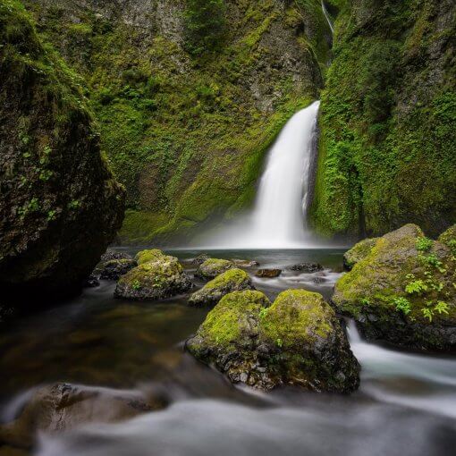
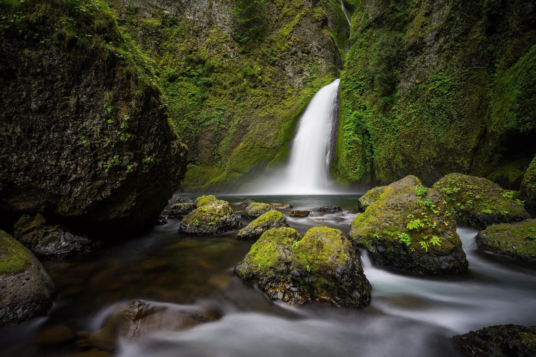
Start at Sturtevant Falls
You should detour one mile towards the wonderful Sturtevant Falls, and start there. It is a popular destination and a good place to take a short break. You are bound to find lots of people there. The trailhead parking opens at 6 am in the morning, so you should try to get there as early as possible. Moreover, If you do not park your vehicle at the Pack Station, then you will need a National Forest Adventure Pass as well.
Take Gabrielino Trail to Spruce Grove Campground
After grabbing a few snaps at Sturtevant Falls, you should move towards the Gabrielino Trail. There are two routes, to begin with at the trailhead. The trail to the right is more refreshing and beautiful in comparison to the one on the left. However, we recommend you take the one to the right, as it runs alongside a muttering creek, and reach Spruce Grove Campground, which is a good place to take some rest.
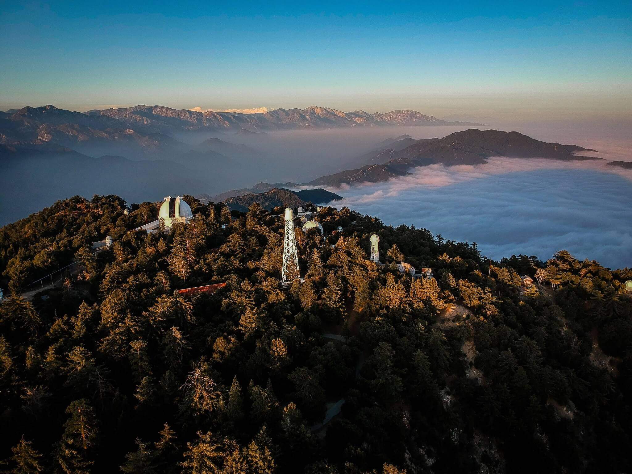
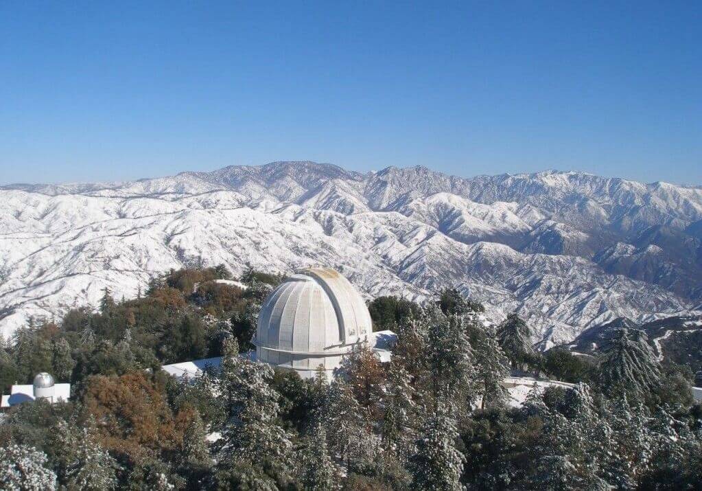
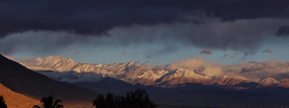
The Top of Mt. Wilson
Your trail will meander along with the creek till you reach the last part of your climb. Hiking through the ridge, you will soon reach to the top. Surprisingly, the top is nothing like what you might expect after hiking through such beautiful scenery. On the contrary, the top of Mount Wilson in southern California has an observatory, buildings and quite an urbanized atmosphere. You should know that some of the best photos of Mars were taken from the observatory here.
However, all is not bad, as you get to witness some amazing landscapes and views as you glance from atop this peak at the grandeur of Los Angeles.
The Trail Back Down and Winter Creek
You will head down through an old road called the Toll Road. This will shortly lead you to the Winter Creek Trail on the left. You should keep an eye out at this point as there are chances that you miss your turn toward Winter Creek Trail.
Climbing down is much easier than the hike up. Treading down the trail toward Winter Creek, you will also reach Hogee’s Camp. Now, you can either opt for the Upper Winter Creek trail which goes along the creek or the Lower Winter Creek trail. If you are exhausted then you should probably take the Lower Winter Creek trail, as it is shorter.
At Chantry Flats Again
You will find some decent toilets and restrooms here. Moreover, there’s Arthur’s Pack Station and a picnic area as well, where you can find some food and drinks. If you are there on a weekend, you might even catch the barbecue going, and sit down for a nice reward meal.

One thought on “Hiking Mount Wilson – Chantry Flat Route”