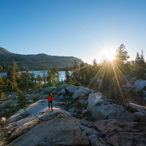
The San Bernardino Peak is another well-known hiking destination in the gorgeous South California region. If you are a hiker who is looking for some excitement and challenges then hiking to San Bernardino Peak is probably one of the best decisions you will make.
The San Bernardino Peak hike via Angelus oaks offers some amazing and breath-taking views. The trail is scenic and perfect for those who are looking for a memorable adventure.
Important Facts You Should Bear in Mind
The San Bernardino Mountains got its name from the San Bernardino Peak. The best time to go hiking in these parts is in between the months of June and October. The weather, in these months, is better for hiking than the rest of the year and will make for a rigorous and enjoyable journey. However, you should fill out a permit online to request entry into San Gorgonio Wilderness, and avoid any troubles later.
Trail Highlights
Trailhead location:Google Maps
Trail type: Out and Back
Trail Map:San Bernardino Peak Trail Map
Total distance: 16.5 miles
Hike time: 8 to 9 hours
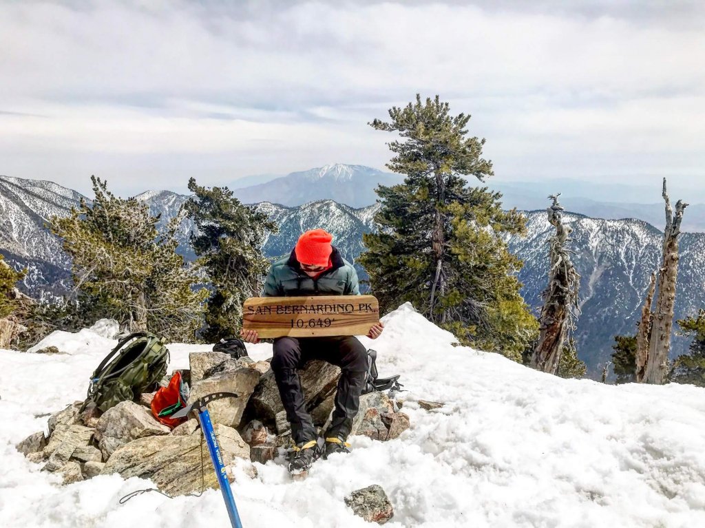
Highest elevation: 10,649 feet
Net elevation gain: 4,702 feet
Trail condition: Well-kept
Preferred season: June through October
Pets: Allowed (with or without a leash)
Parking pass: National Parks Pass
Permits: Voluntary Permit
Park Contact: Mill Creek Visitor Center
Current weather:National Weather Service
Trail Conditions
Although the nine-hour hike tends to get tougher along the trail, the rewards that you reap are incredible. You also have the option to stop for camping at night and hike the trail in two days instead of one for a relaxing time in the outdoors.
The trail can easily be broken into three parts. The first part is well structured which means you will go a bit faster than the rest of the trail. You will cover good elevation in this part of the trail. The second part is a bit gentler than the first part, and the third portion of the trail is a steep climb to the summit.
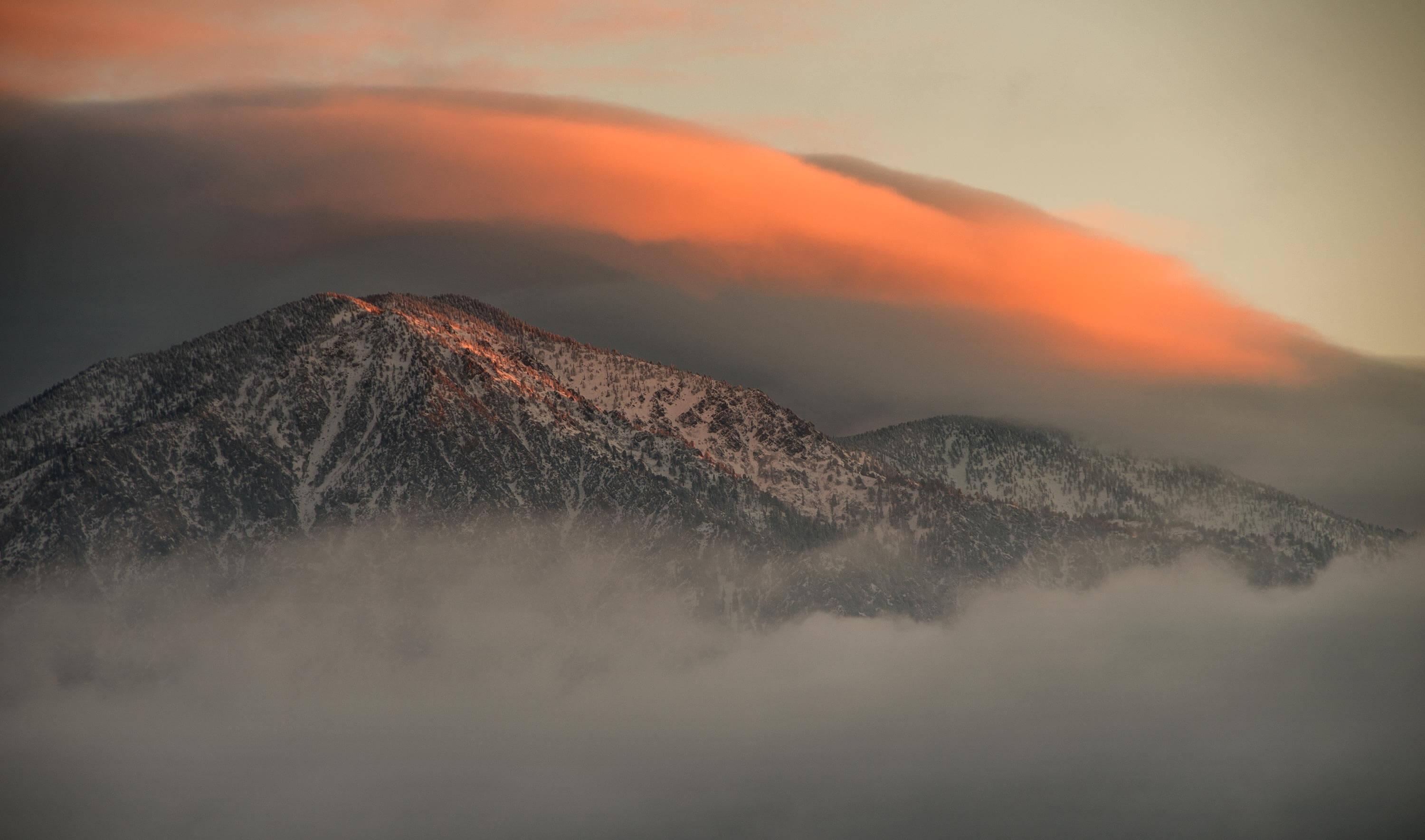
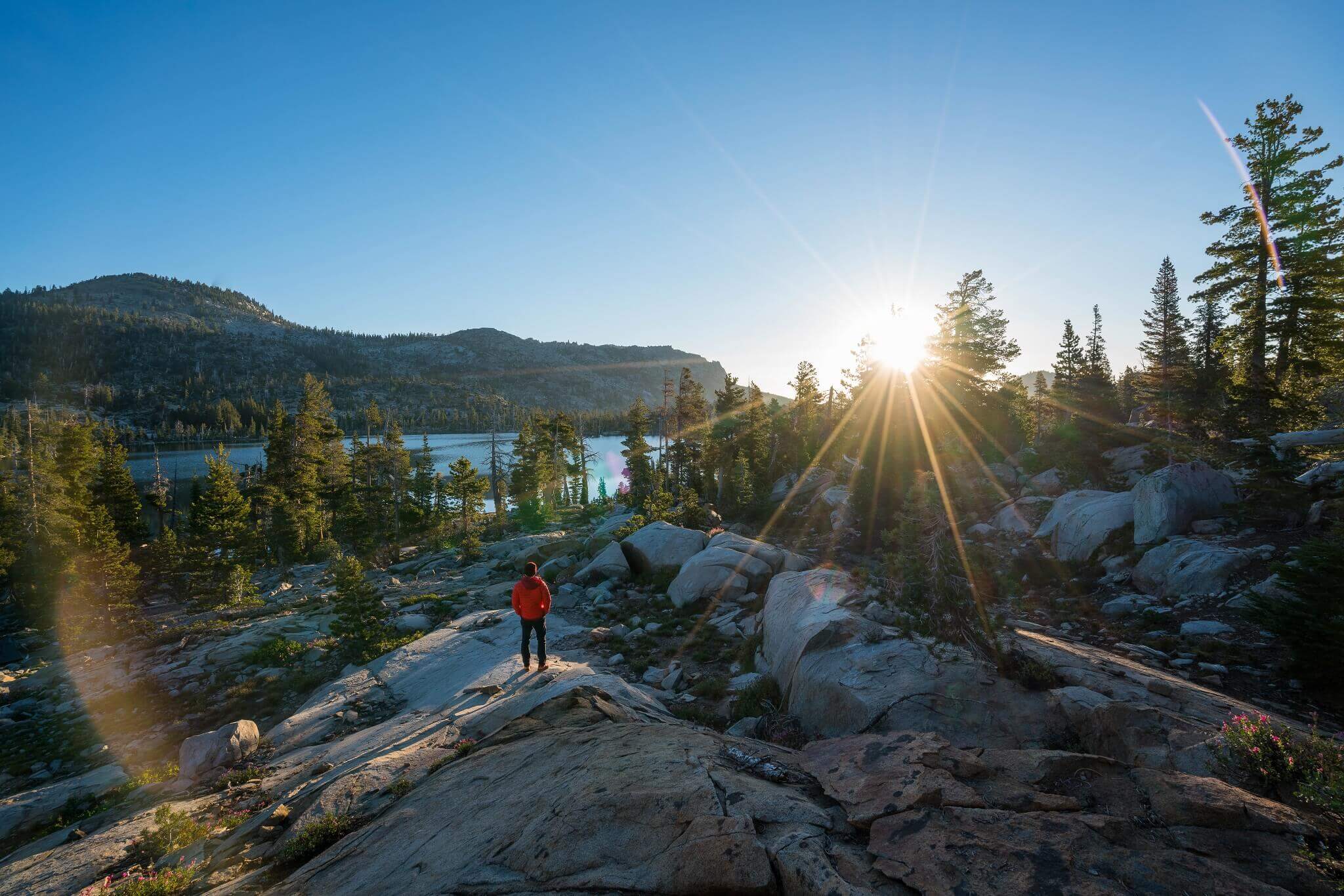
The summit offers some of the best views of Mt. San Gorgonio and Mt. San Jacinto. Moreover, it gives a bird’s eye view of the Inland Empire as well. There are beautiful fauna and flora all along the trail which will definitely be worth hiking for.
How to Get to the Trail
You will have to take the exit on Orange street when coming from the I-215 and I-10 junction. Follow the ramp, and then take a right toward Highway 38. Pass the Mill Creek Ranger Station and Valley of the Falls Drive, and you should reach Angelus Oak Fire Station. It is easily located on Google Maps, however, you will have to take an immediate left from there to find a road sign which will guide you exactly toward the trailhead.
Key Trail Directions & Landmarks
- The trail head actually starts right by the ‘Welcome’ board. Ignore the gate that’s further away.
- Have a look at the Hiking Notice Board for any important notices.
- After hiking most of the switchbacks, you will reach a sign that says San Bernardino National Forest (put in place by the San Gorgonio Wilderness Association).
- When the trail flattens out about 3 miles into the hike, you’ve reached Manzanita Flats.
- About 4 miles in, you’ll reach a trail junction. Go towards Limber Pine.
- When you are about 5.75 miles into the trail, you’ll see signs for Limber Pine Bench Camp (good option for overnight backpacking trips).
- There is a passage demarcated with stones through Limber Pine campground toward San Bernardino Peak.
- Around mile 7, the trail splits. Go left to continue. Go right for an overlook vista.
- At mile 8, the trail splits again. This time go right, the steeper route.There’s usually cairns here.
- There is a plaque at the Washington Monument which tells you about its history.
Toward Manzanita Flats
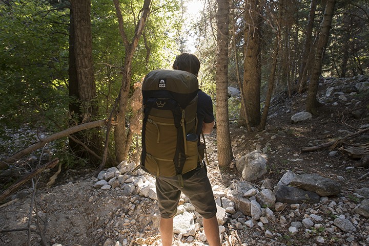
You start your hike amidst a forest of pine and oak on, what may be called, a smooth trail. It is not very steep and allows you to witness some stunning views of Mt. Baldy and also the Inland Empire. Keep following the trail and you will reach Manzanita Flats.
Limber Pine Bench Camp
The trail toward Limber Pines has some wonderful views as your gaze toward Big Bear Lake. Most of the trail through Manzanita is gentle but it does get steep towards the end, just before, Limber Pine Bench Camp. You may also be lucky enough to spot a seasonal creek that flows near this route.
You will have to read and follow all trail signs on the route to safely reach Limber Pine Bench Camp. This is where most people set out their camps, and is a great place to take your first rest.
Washington’s Monument
Setting off from the Limber Pine Bench camp, you have now begun the last part of the journey. This is where the altitude really kicks in (hope you are well prepared). You will have to follow switchbacks and climb hard to reach Washington’s Monument. You may find some snow along the route but all of it has probably melted away in the warm weather.
The San Bernardino Summit
The Washington Monument is basically just a pile of rocks and not something you’d expect for a place with such a name. Anyhow, just keep moving and follow the ridge to the summit. Standing atop the mountain you can cherish the refreshing beauty and take some amazing photographs.
Going Back Down
Just follow the way you came to finish your hiking journey.
