
There are some nice hiking areas in, and around, Los Angeles. Cucamonga Peak is one of many such marvelous outdoor locations where you can enjoy a good long hike to the summit. There are various trails that will lead you to the top, however, the Icehouse Canyon trailhead is the more common starting point for Cucamonga Peak.
Important Things to Know Before You Go!
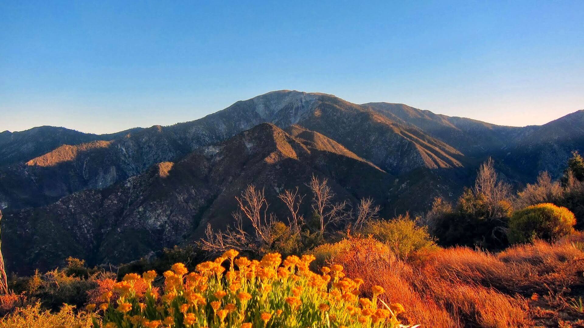
Cucamonga is one of the famous six pack of peaks and gives us a bird’s eye view of California’s Inland Empire. It has a total height of 8859 feet and an elevation of around 4300 feet. The hike from the base of the mountain to the summit- and back – is approximately 12 miles and, it takes about 7 hours to trek. Moreover, you can find this information on the Cucamonga Peak Trail Map as well.
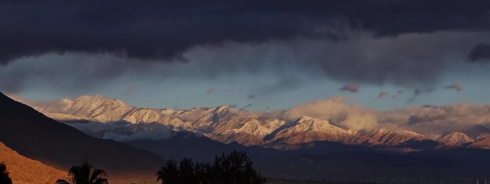
You will find some snow on the trail most of the times, however, it is well-known that the northern slope tends to gather snow much later in the season. In any case, the best time to plan your visit is in between June and October. Remember to check the latest weather reports before you head out.
Trail Highlights
Trailhead location: Google Maps
Trail type: Out and back
Total distance: 12 miles approx
Total hike time: 7 Hours
Difficulty: Hard
Highest elevation: 8,862 feet
Net elevation gain: 4,300 feet
Trail condition: Well maintained
Preferred seasons: June to October
Pets: Leashed
Parking pass: Adventure Pass
Permits: Free Permit
Park contact: Angeles National Forest
Current weather: National Weather Service
Trail Conditions
The Icehouse Canyon trail is very steep and rocky for the first three-miles or so. It goes alongside a creek and you will find plenty of shade as you move towards the summit. This is more of wilderness hike, hence you should be prepared to find some bugs and insects on the trail.
The last part of the hike is not shaded particularly well, and you will be exposed to lots of sunlight. Prepare adequately to fully enjoy your hike.
How to Reach the Icehouse Canyon Trail
You should take the exit towards Mount Baldy, when coming from the 210 Freeway, and travel northwards. Continue on the road, you will pass a small village and then take the right toward Icehouse Canyon.
The Icehouse Canyon Trail
The trail is popular with hikers and lies just a mile from Mt. Baldy Village. Furthermore, it is a rough and hard hike but not too strenuous to completely wear you out. The scenes are amazing and the beauty of the place is unique in its own right.
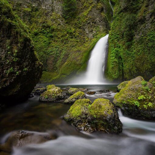
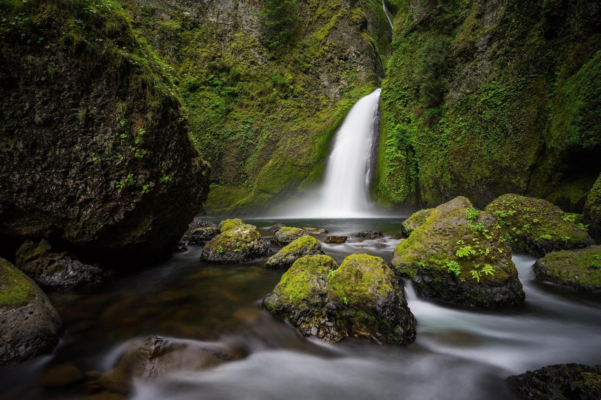
The trail is full of dense forest which is extremely pleasing to the eyes. Moreover, the Icehouse creek flows gently alongside the route, accompanying you, through most of your journey.
You should try to reach the trailhead as early as possible and should aim to start hiking at around 7 am. This way, you will find a good parking space and will not find a lot of people there. You will need a National Forest Adventure Pass for parking and to make full use of the facilities onsite.
Key Trail Directions & Landmark
- The hike begins at the Icehouse Canyon Trailhead which is at the end of the parking lot.
- You will find a pad with the hiking permit on it. Fill out the permit with your details and drop the white copy in the box while taking the yellow copy with you.
- Alternatively, if there are no permits left. Just write your name and other relevant information on a piece of paper and drop it in the box.
- There will be a tree stump with ‘SCE’ in white paint. Stay to the left to continue on the Icehouse Canyon trail.
- The route gets really beautiful as it meanders along the creek. You will find some cool ruins on this trail as well.
- About 1 mile into the hike, there’s a junction with a sign post. Stay on the trail.
- 1.75 miles into the hike, there’s another sign post that’s blue and white, letting you know you’ve entered the Cucamonga Wilderness.
- Keep an open eye for cairns through the rocky areas.
- Icehouse Saddle will be your first destination on this hike about 3.6 miles in, and a good place to take a breather.
- From Icehouse Saddle, look for a sign post nailed to a tree. Take the Cucamonga Peak trail.
- Remember to stay right when the trail splits from Icehouse Saddle.
- You will find an abandoned old mine shaft 4.5 miles in on the trail.
- At mile 6.25, the Cucamonga Peak trail splits. Hike to the right. Keep an open eye open for a wooden post.
- There is an American Flag on the summit, from where you can witness the views to the west.
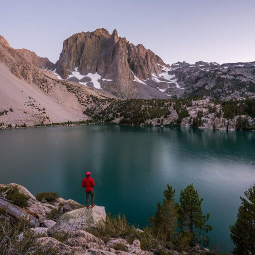
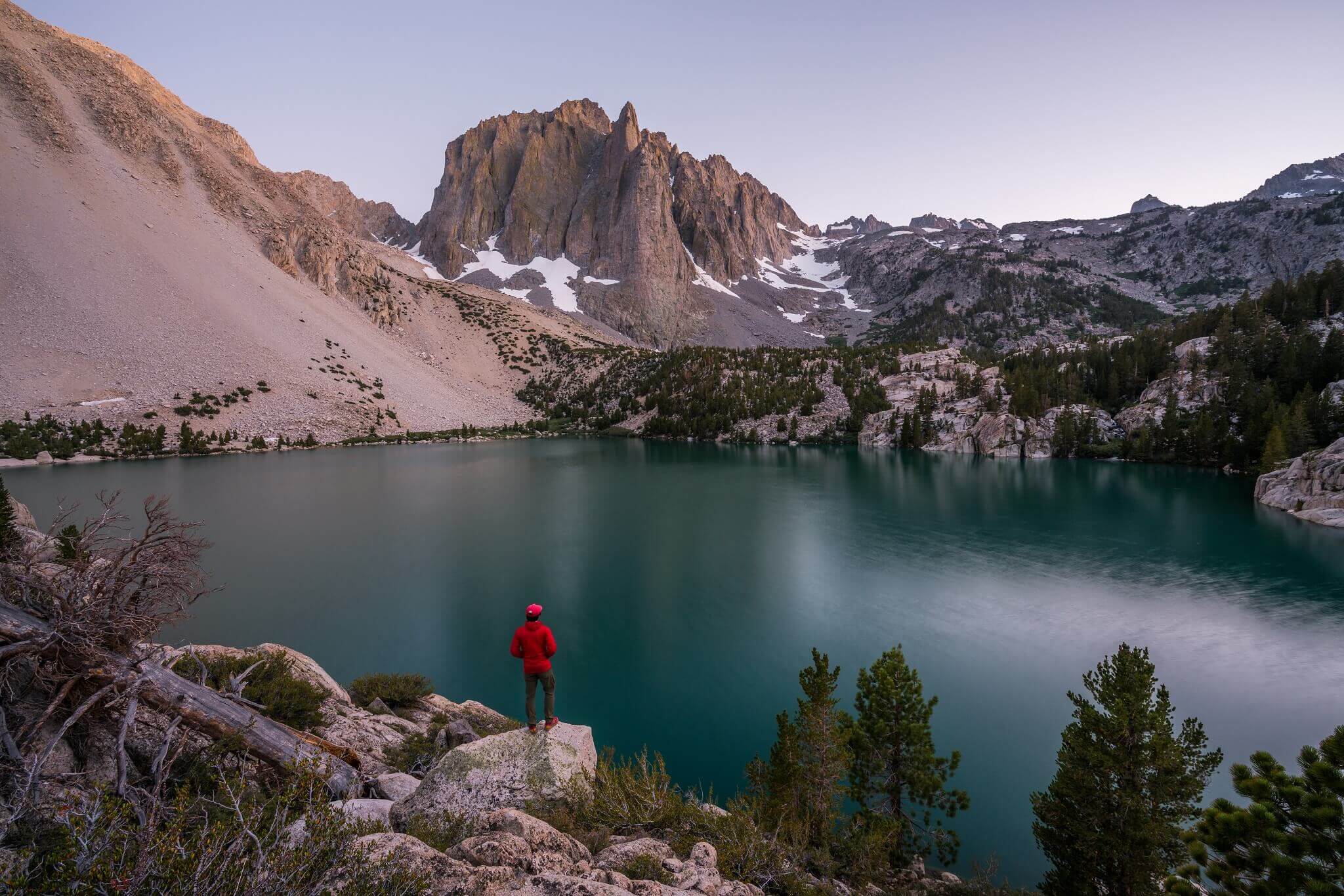
- The summit has great views, you will see LA and the Inland Empire from here.
Catch a Break at the Icehouse Saddle
The experience is truly beautiful and you will be lost in the greenery and freshness that you find on the trail. However, you will need to catch a break at some point, and perhaps, there is no better place to take a breather than the Icehouse Saddle.
This is a common junction between all the different trails. Hence, you should keep an eye out for the sign that says Cucamonga Peak Trail to avoid getting confused among the different trails.
The Summit
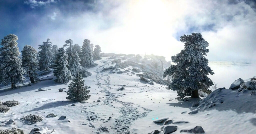
You may find some snow on the northern side of the Cucamonga Peak even in the month of June. However, it is not too difficult to trek past it since these are mere patches which add an interesting dimension to the majesty of this place.
You will see a clear sign indicating that the summit is just a few paces ahead. As you reach the summit, you are immediately taken aback by the sheer magnificence of the dazzling views that you get to witness from this height. You can even see the San Antonio and San Jacinto peaks from here.
The Hike Back Down
You can easily find your way down by merely following the way you came. The hike down is easier and there are rarely any elevations to trudge over. It is pretty much all downhill from here on.

One thought on “Hiking Cucamonga Peak-Icehouse Canyon Route”